

Product details
KNOW THE WATER BETTER THAN A LOCAL
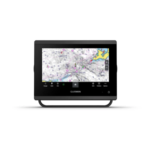
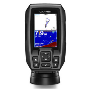
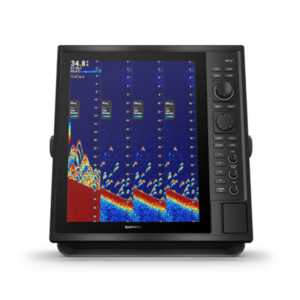
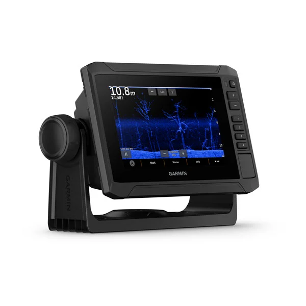
When it comes to catching more fish, they say, “Talk to a local.” With the ECHOMAP UHD2 chartplotter, which offers our best-in-class sonar and mapping and premium touchscreen display with keyed-assist, you’ll know the water even better than they do.

The bright 6”, 7” or 9” touchscreen display with keyed-assist is user-friendly and easy to read.

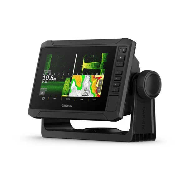
Good things come in threes. Three sonar types, that is: Garmin traditional, ClearVü and SideVü sonars.

Improved detail? Check. Distinguished targets? Yep. That’s the beauty of high-contrast vivid color palettes.

If you’re running another ECHOMAP UHD2 chartplotter, you can wirelessly share sonar, waypoints and routes.

Want our best in mapping? Who doesn’t? Select chartplotters come with Garmin Navionics+ mapping.


SONAR SUPPORT
With crisp, clear traditional sonar and brilliant ClearVü and SideVü scanning sonars, the fish will have nowhere to hide. Your ECHOMAP UHD2 also supports LiveScope live-scanning sonar.

VIVID COLOR PALETTES
High-contrast vivid scanning sonar color palettes make it easier than ever to distinguish targets and structure.

BUNDLE YOUR TRANSDUCER
Your ECHOMAP UHD2 device supports a variety of Garmin transducers. The 6” and 7” chartplotters come bundled with a GT54 transducer — while the 9” chartplotter comes with a GT56 transducer.

PRELOADED CHARTS
You’ve never seen Garmin cartography like this before. Select chartplotters come with built-in Garmin Navionics+ cartography which includes a 1-year subscription for daily updates, depth range shading and more.

WIRELESS NETWORKING
If you have another compatible ECHOMAP UHD2 chartplotter on your boat, you can wirelessly share information — such as sonar1, waypoints and routes — with them.

ACTIVECAPTAIN APP
Built-in Wi-Fi connectivity pairs with the free all-in-one mobile app on your compatible smartphone for access to the OneChart feature, smart notifications, software updates, Garmin Quickdraw Community data and more2.

AUTO GUIDANCE+ TECHNOLOGY
Chartplotters with built-in Garmin Navionics+ charts include downloadable Auto Guidance+ technology3 with the ActiveCaptain app.

TROLL WITH FORCE
Your ECHOMAP UHD2 wirelessly connects to your Force trolling motor to create and follow routes, navigate to waypoints, control speed, check battery life and more.

POWER-POLE SHALLOW WATER ANCHOR
By networking select Garmin chartplotters with a Force trolling motor and your compatible Power-Pole shallow water anchoring system, you can access advanced boat control features4 from your plotter, including smart anchor auto-deployment, smart anchor jog, auto stow, anchor drag detection and auto guidance5 end-of-route anchoring. Spend more time fishing, less time positioning.

MULTI-BAND GPS
Get improved position accuracy, particularly in areas where signals are reflected or weak, with multi-band GPS.